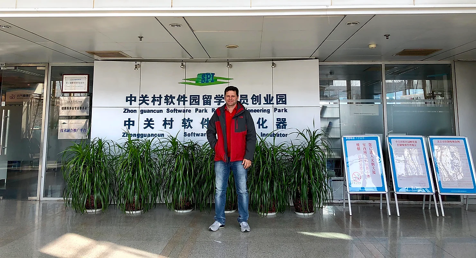
LIDAR POS - PROCESSING COURSE AT GREEN VALLET INTERNATIONAL BEIJING - CHINA - 2017
- TKOF SPACE
- Nov 29, 2023
- 1 min read
GVI currently offers a wide array of advanced but easy to use aerial, terrestrial, and mobile laser scanning technologies. The firm’s extensive product line features multiple high-precision 3D mapping hardware solutions including: LiAir (unmanned aerial vehicle LiDAR), LiBackpack (handheld/mobile LiDAR), LiEagle (fixed-wing/ helicopter LiDAR), and LiMobile (car/truck mounted LiDAR). Along with the cutting-edge hardware product lines, GVI provides versatile software solutions from mission plan (LiPlan) to data acquisition (LiAcquire, LiBackpack Desktop) and from GNSS/IMU data processing (LiNav) to LiDAR georeferencing (LiGeoreference). Moreover, a standalone software suite LiDAR360 Suite is developed for LiDAR and photogrammetry data post-processing for terrain mapping, forestry applications, powerline survey, etc. GVI also provides cloud-based services (LiCloud) for customers easier and better to manage hardware systems and process 3D data.


Comments